Section D: Field, BC > Saskatchewan Crossing, AB 105km
Section D was the shortest section of our hike, a mere 105km over four days. It was the closest to home and we would really not be too far from a "local" road until day three of four. I would describe the section as the least maintained (so far), much was left to go "back to nature". A couple we met on trail, Lowell and Jenette, said that Parks Canada advised them not to go on either the main route nor the Kiwetinok Alternate as they are "wild and unmaintained". The calling for a GDT hiker.
From Yoho we made it to the Blaeberry where we started on the David Thompson Trail, a historic route of the first person of European descent to cross Howse Pass. Howse Pass was not much of a pass at all, in fact, I wouldn't have known it was a Pass had it not been for the metal and wooden signs plopped in the center of the woods.
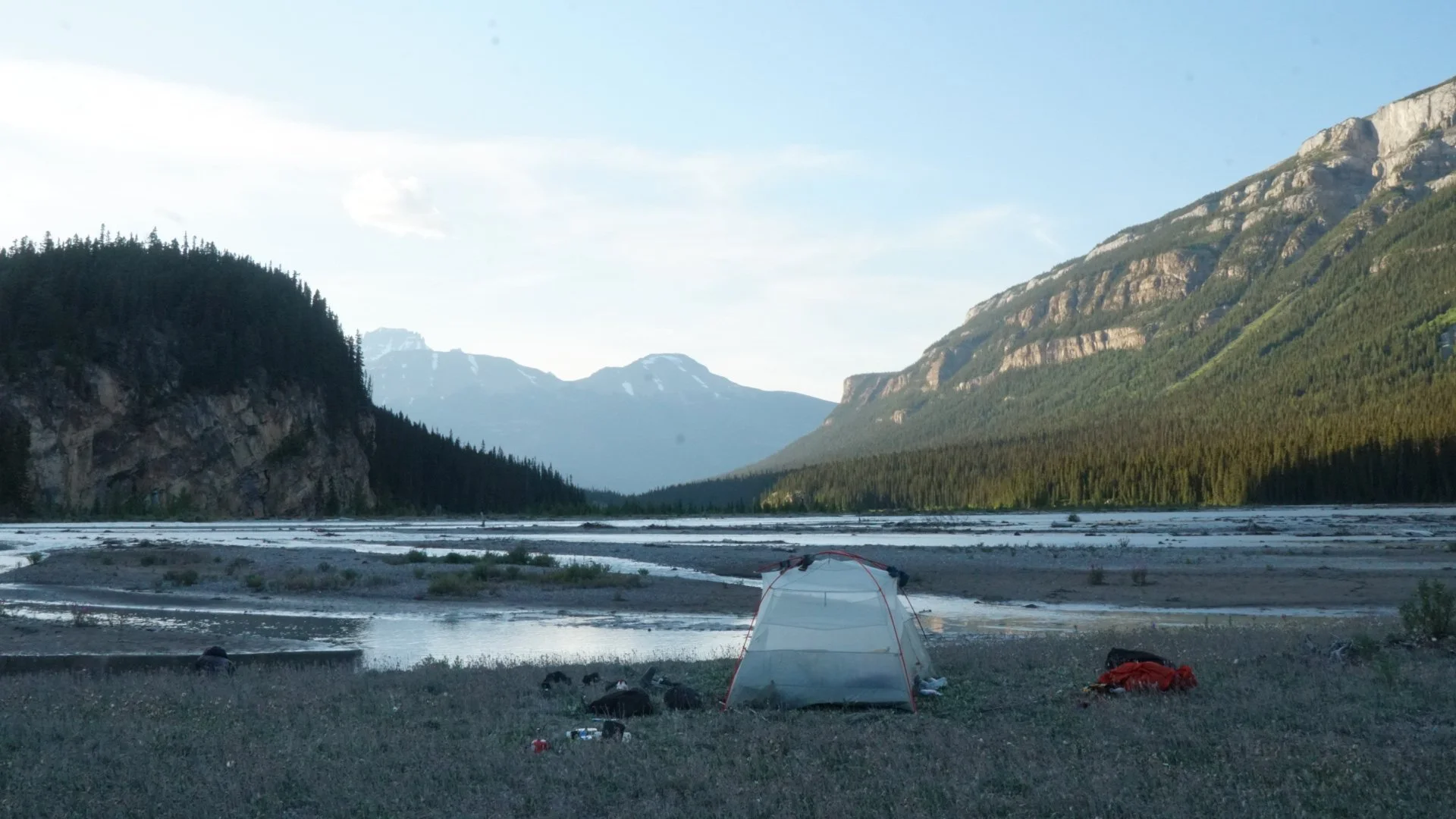
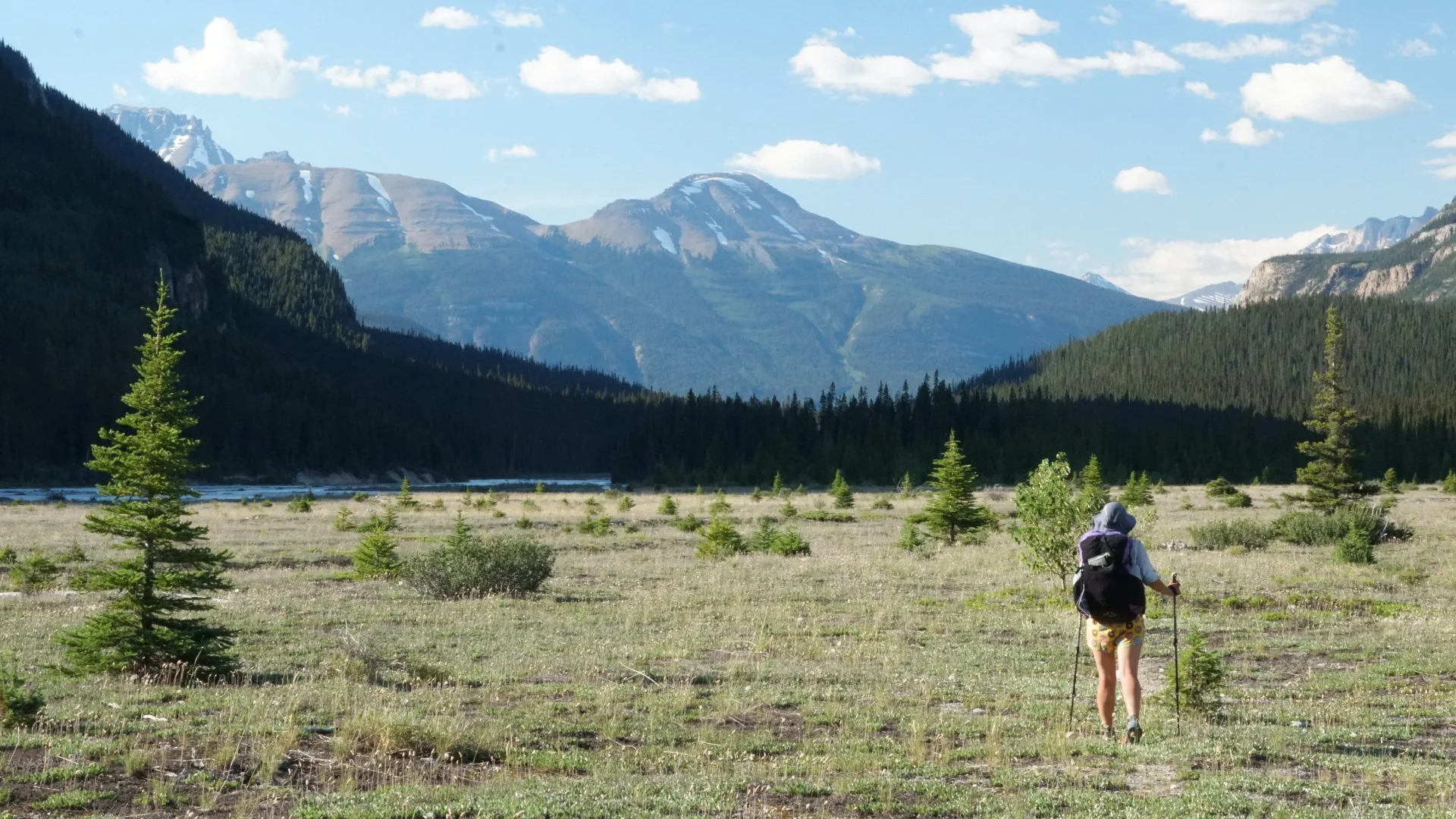
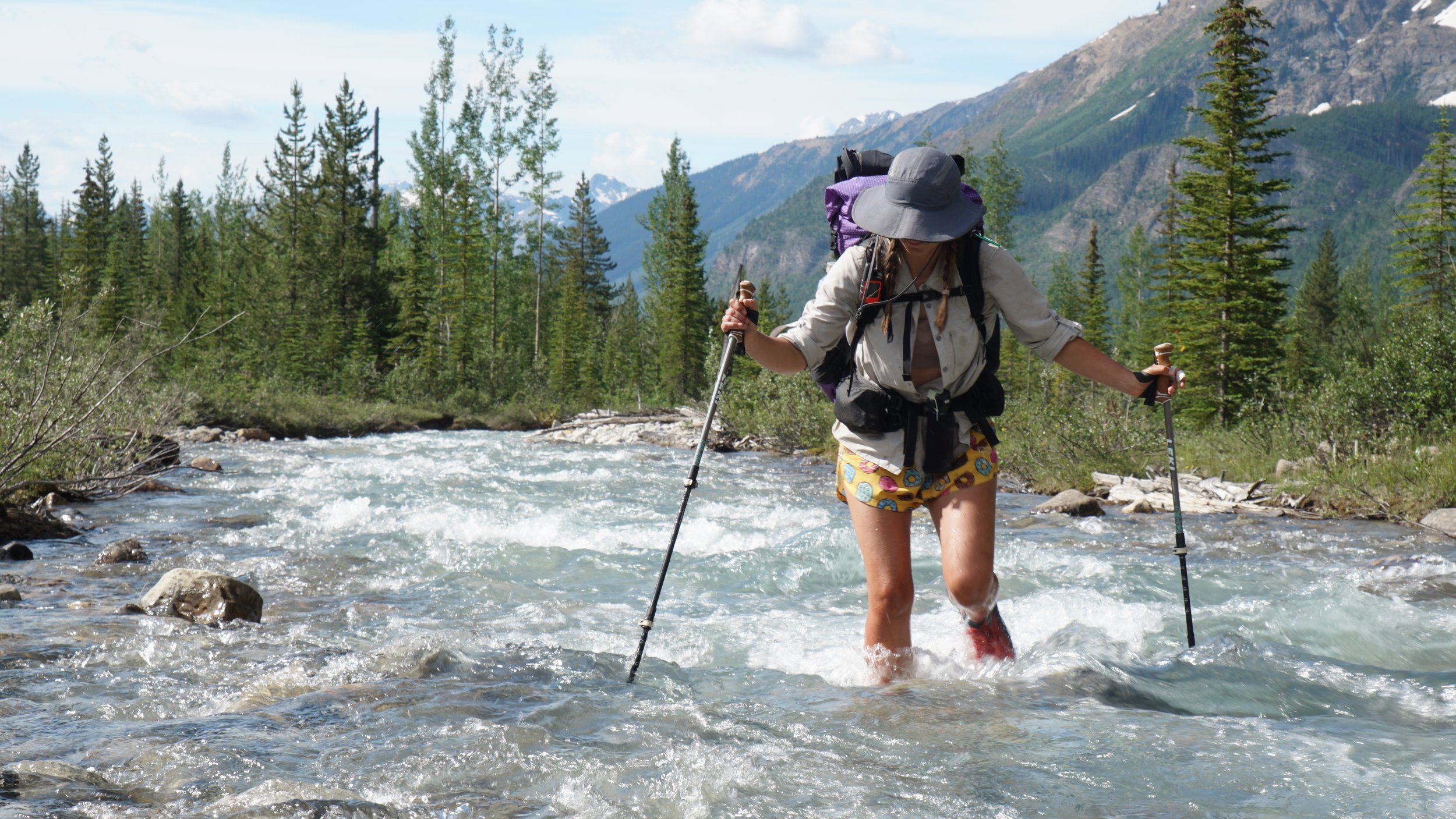
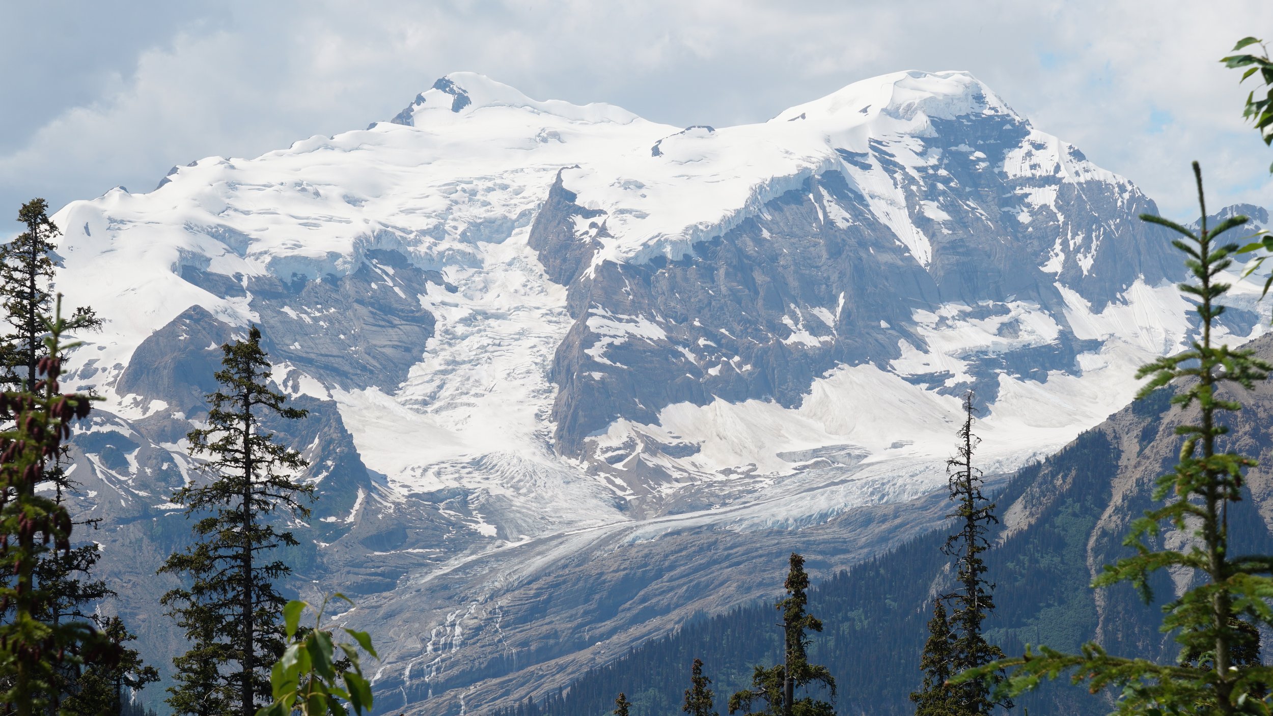
Howse Pass opened up to the Howse Valley, home of the Howse River. Our first inkling of a "Northern" ecosystem; Braided Rivers, Lodgpole Pine and kilometers of floodplain. It was an open and expansive area where the nearest mountains were distant and all the while looming high. The floodplain was decorated with flowers of pink, gold, and red; studded with minute spruce; a media to capture the highway of animal tracks. This area was fully considered "unmaintained" by Parks and felt the part. Common Juniper and willows cut at our shins as we fell through the brush. Trees fallen this way and that over the trail pushed us around. Attempting to avoid riverside obstacles, we crossed streams of the Howse in order to walk on the gravel bars. Kilometer after kilometer we walked along the silty sweeping river, we felt miniature in the vast landscape.